


Geographic information


Kolín is situated in central Bohemian region, approximately 60 km east of Prague. The town lies on both banks of the river Labe, in the place where the river curves from west to north. Kolín is located on the margin of Labe lowland which can be found north and east of the town and it belongs to Central Labe area. Spurs of Central Moravian highland slope towards the town from south and west. The flat area is disrupted by valleys of Polepy and Peklo brooks. From north-east, the East Labe upland reaches the town in the form of Vinice hill (237 m). The town centre lies on a rock on the left bank of the Labe.
In the surroundings we can find riparian woodland which is protected by the state (Veltruby riparian woodland – Veltrubský luh). Eastwards of the town there is a natural monument - Kolín pools.
The town area is divided into 10 parts and into 4 cadastral zones:
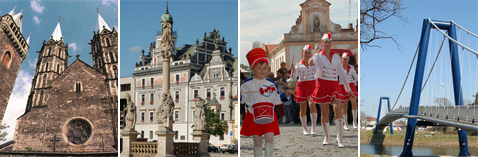
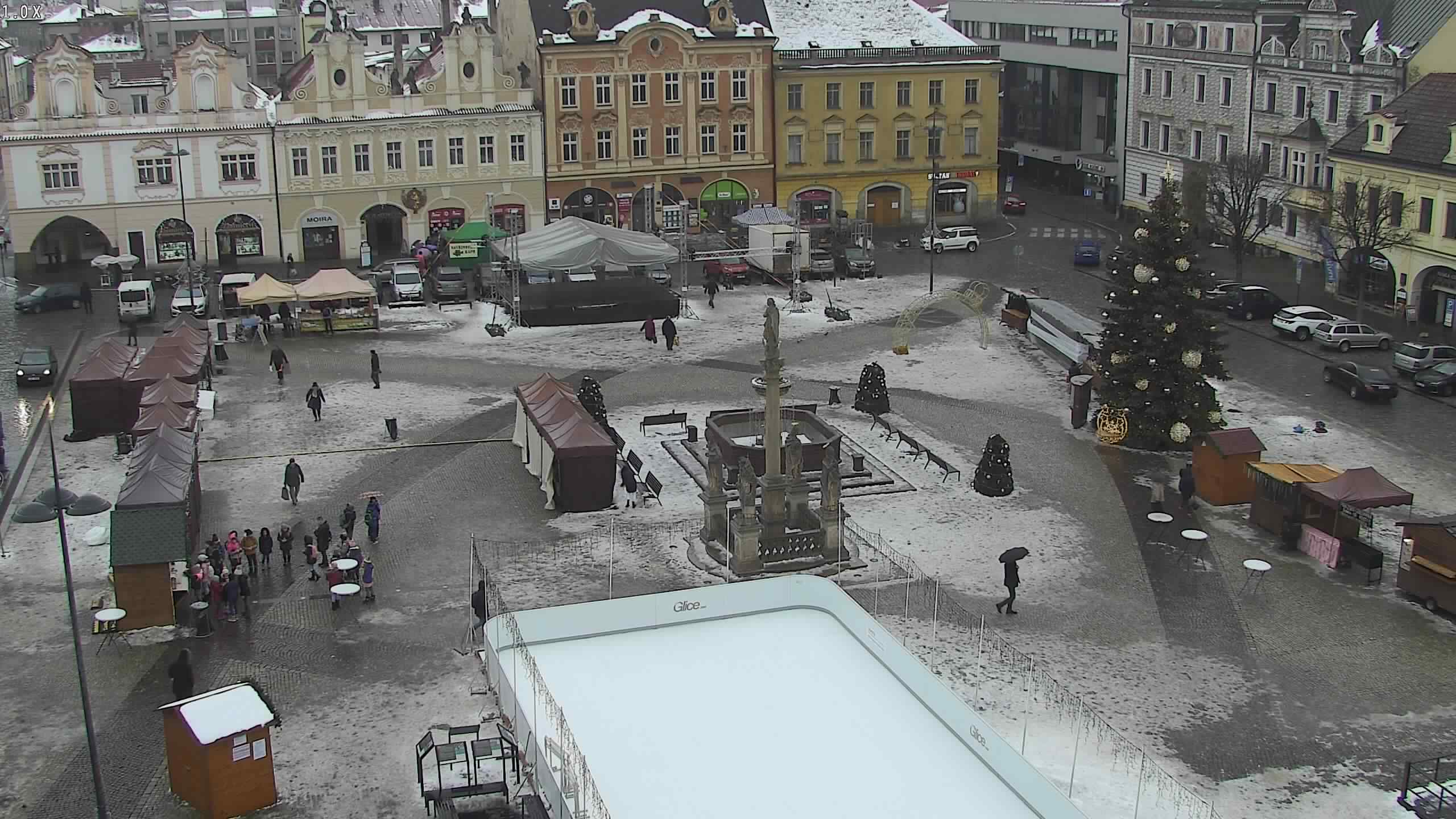
- Kolín I – historic town centre (see also Sights). This part is situated on the left bank of the Labe, together with Kolín II-IV and Kolín VI
- Kolín II – Prague outskirts. It is situated west of the town centre and it is the most populated part of the town with the biggest housing estate. The dominant feature of the west margin of the town is a water-tower which does not serve its main purpose anymore.
- Kolín III – Kouřim outskirts. It is situated south of the town. The dominant building is the Grammar school with the tower.
- Kolín IV – Kutná Hora outskirts. It is situated east of the town. There is a railway and bus station.
- Kolín V – Zálabí. The biggest Kolín outskirts, it is situated on the right bank of the Labe. It is characterized by its fan-layout of streets, disrupted by the construction of New Bridge. It is also the area with the main town cemetery. Zálabí was attached to Kolín in the 15th century, before it had been the property of Sedlec monastery. It was created by connection of extinct villages of Brankovice and Mnichovice.
- Kolín VI – Štítary outskirts. It is called Vejfuk by local people. It is situated between Kolín II and Štítary. It was founded as a residential suburb in the interwar period in the 20th century.
- Štítary – originally an independent village, situated south-east of the town centre.
- Zibohlavy – originally an independent village, situated at the end of Štítary valley, south-west of the town centre.
- Šťáralka – originally an independent village, situated on the east margin of the town by the main road I/38 in the direction to Čáslav. It is directly connected to Kutná Hora outskirts.
- Sendražice – originally an independent village. It is situated northwards of the town, in the direction to Ovčáry, it is connected to Zálabí.
Images

 Máte zájem dostávat nejnovější zprávy přímo do vaší e-mailové schránky?